

All about HySIS (Hyperspectral Imaging Satellite) of ISRO. See first image sent by HySIS
- Geoinformers

- Dec 2, 2018
- 2 min read
HySIS, the most powerful Indian satellite has been launched on 29 Nov, 2018 by ISRO. ISRO's rocket PSLV-C43 successfully injected into orbit HySIS along with 30 co-passenger satellites from eight countries. It was placed in orbit, precisely 17 minutes and 27 seconds after liftoff from Sriharikota. It is able to detect 55 colors as it has 55 bands.

Fig: Artistic rendering of HySIS
Why is it more powerful than previous earth observation satellites of India?
All previous IRS (Indian Remote Sensing) satellites are multi-spectral satellites which have only few bands (mostly have 3-4 bands). Chandrayaan-1 was having hyperspectral imaging camera (HySI) but HySIS is a full-fledged hyperspectral satellite. Hyperspectral satellite images are more powerful than multispectral images because of their capability of high level of differentiation of the scene or object. Multispectral satellite images have few bands, mostly 3-12 but a hyperspectral satellite image have many contiguous bands that makes the "distinct identification of objects" possible from space.
For example both multispectral image of Landsat series satellite and hyperspectral image of EO-1 Hyperion satellite have spatial resolution# of 30 meter but an analyst can precisely differentiate among different types of agricultural crops using hyperspectral image only and not with multispectral image data. The reason is available number of contiguous bands in hyperspectral image that provide better differentiation capability. Each pixel of hyperspectral satellite data has rich information compared to multispectral.
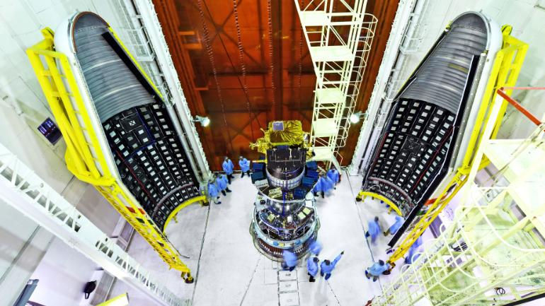
Image: Hysis with 30 copassenger satellites (Credit:ISRO)
Technical specification of HySIS:
Vis-NIR-SWIR Hyperspectral payload of HySIS satellite is a hyperspectral imaging sensor operating in the visible, near infrared and Short wave infrared regions of the electromagnetic spectrum. This earth observing imaging spectrometer will operate in the 0.4 to 0.95 µm spectral range, will have 55 spectral bands with 10 nano meter spectral sampling and 30 meter spatial sampling (spatial resolution). Push-broom scanning mode is the operating mode of this sensor from a 630 km orbit with an inclination of 97.957 degrees. Its orbit is Polar Sun Synchronous orbit. It has two spectrometers in VNIR and SWIR regions.

Image: HySIS in clean room before launch (credit: ISRO)
Application areas:
ISRO lists the impressive range of applications for data from HySIS: Agriculture, forestry, environmental monitoring, minerals and oil exploration, military surveillance, forestry, coastal zones, inland waters and much more.
#Spatial resolution is a term that refers to the number of pixels utilized in construction of a digital image. Images having higher spatial resolution are composed with a greater number of pixels than those of lower spatial resolution.
First Image sent on 02 Dec 2018 by HySIS

Read detailed electronic specifications-
https://www.isro.gov.in/isro-develops-optical-imaging-detector-array-hyperspectral-imaging-applications
Gopal Krishna
Doctoral researcher,
New Delhi,
INDIA


Comments